Drone as First Responder

From 911 call to eyes-on-scene in under 2 minutes. CAMPTON's DFR solution delivers autonomous aerial response with full CAD integration, reducing officer risk and accelerating incident resolution.

<2 min
Time to Eyes-On
Target performance metric
30-50%
Dispatch Reduction
Via aerial triage
24/7
Autonomous Coverage
No pilot required on-scene
60 sec
Report Generation
Auto-pushed to CAD/SOC

What Changes for Your Team

DFR transforms public safety response from reactive to proactive, giving dispatchers and officers real-time intelligence before units arrive.

Automated Dispatch Integration

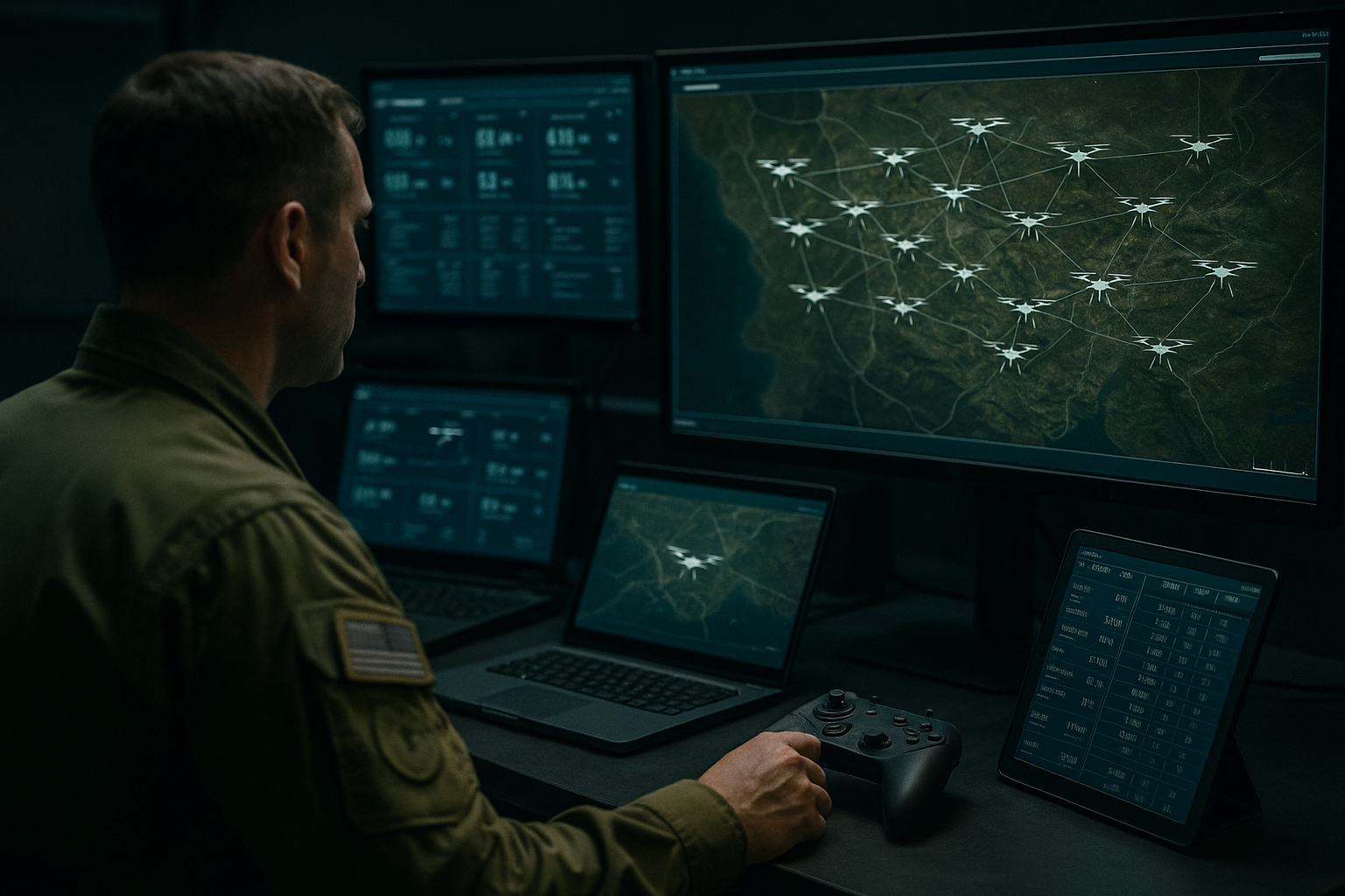
AERIS Command integrates directly with your CAD system. When a 911 call comes in, the system automatically launches the nearest drone to the incident location, transmits live video to dispatch and responding officers, and generates incident reports.

Dispatchers see real-time video feeds in their CAD interface. Officers receive live video on mobile devices or in-vehicle tablets. Pilot-in-command oversight ensures compliance while maintaining rapid response times.

Integration Features:

  • ✓ Automatic launch on CAD event trigger
  • ✓ Live video to dispatch, officers, and command
  • ✓ Automated incident reports with video, telemetry, and timestamps
  • ✓ Pilot-in-command oversight from remote SOC
  • ✓ NIEM-compliant data exchange
CAD integration and dispatch workflow

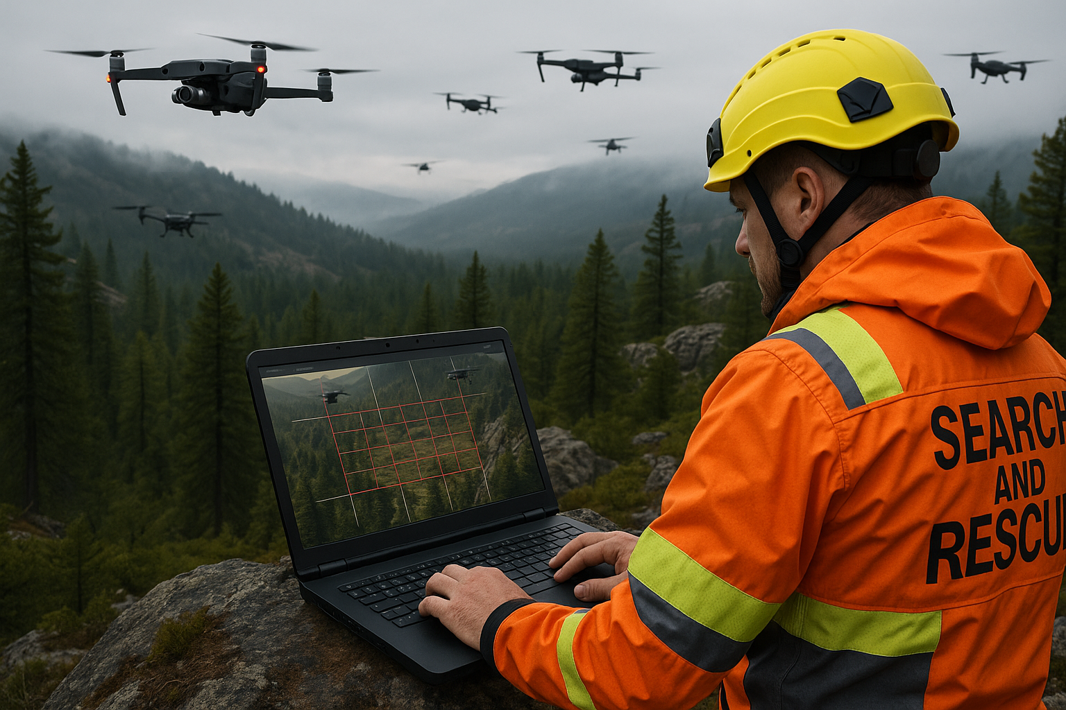
Aerial Triage & Decision Support

Not every 911 call requires an officer on-scene. With aerial triage, dispatchers can assess situations visually—confirming false alarms, evaluating scene safety, and determining appropriate response levels—before committing ground units.

This reduces unnecessary dispatches by 30-50% in pilot programs, freeing officers for higher-priority calls and reducing vehicle wear, fuel costs, and officer fatigue.

Triage Capabilities:

  • ✓ Visual confirmation of alarms and incidents
  • ✓ Scene safety assessment before officer arrival
  • ✓ Vehicle and suspect identification
  • ✓ EO + thermal imaging for comprehensive visibility
  • ✓ Crowd size and behavior assessment
Aerial triage and scene assessment

DFR System Architecture

End-to-end solution with dock, connectivity, command software, and compliance built in.

🏠

AutoBase Dock

Weatherized autonomous docking station mounted on station roofs or strategic sites. Handles launch, landing, charging, and system health checks.

  • Precision landing (±5cm)
  • 20-minute fast charge to 80%
  • Heated platform for winter ops
📡

LTE/5G Connectivity

Primary link via cellular with MANET mesh backup. Low-latency video streaming and telemetry to dispatch and mobile units.

  • Multi-carrier SIM options
  • Sub-500ms glass-to-glass latency
  • Automatic mesh failover

AERIS Command

C2 software with CAD connector, automatic mission planning, and pilot-in-command interface for remote oversight and authorization.

  • CAD event triggers
  • Geofencing and no-fly enforcement
  • Multi-site fleet coordination
📋

Compliance & Reporting

Automated audit logs, flight records, video archives, and NIEM-compliant reports for seamless evidence management and FAA compliance.

  • Automatic flight logs and video retention
  • Chain-of-custody tracking
  • FAA compliance exports

FAA Pathways & Compliance

We guide you through COA applications, BVLOS waivers, and ongoing compliance requirements.

Certificate of Authorization (COA)

CAMPTON provides COA application templates, airspace analysis, risk assessments, and operations manuals tailored to DFR missions. We've supported multiple agencies through the FAA approval process.

BVLOS Operations

Beyond Visual Line of Sight operations are essential for effective DFR. Our package includes detect-and-avoid (DAA) documentation, visual observer (VO) reduction strategies, and low-altitude airspace coordination with local ATC.

Remote ID Compliance

All CAMPTON drones broadcast Remote ID per FAA requirements. Network and broadcast Remote ID options available to meet specific operational needs.

Training & Currency

We provide pilot training, recurrent currency programs, and dispatcher/operator training to ensure your team maintains compliance and proficiency.

Request FAA Support Package

KPIs We Track

Data-driven operations with metrics that matter for public safety and program justification.

Response Metrics

  • • Average time-to-launch
  • • Average time-to-visual
  • • Mission success rate

Operational Efficiency

  • • Aerial triage resolution rate
  • • Reduced unnecessary dispatches
  • • Officer time saved

System Reliability

  • • Fleet uptime percentage
  • • Mean time between abort
  • • Battery/component health

Compliance

  • • Flight hours and missions logged
  • • Incident reports generated
  • • Audit trail completeness

90-Day Deployment Path

From pilot to production with structured phases and clear milestones.

📋

Phase 1: Planning (Weeks 1-3)

Site survey, airspace analysis, COA preparation, CAD integration design, stakeholder alignment, and policy development.

🛠️

Phase 2: Installation (Weeks 4-6)

Dock installation, connectivity setup, AERIS Command configuration, CAD connector deployment, and system integration testing.

🎓

Phase 3: Training (Weeks 7-9)

Pilot certification, dispatcher training, officer mobile app training, and policy/procedure walkthroughs.

🚀

Phase 4: Pilot Program (Weeks 10-12)

Limited operational deployment, metrics collection, policy refinement, and preparation for full production rollout.

Deploy DFR in Your Community

Schedule a consultation to discuss your operational requirements, FAA pathway, and deployment timeline.